Brazil's Amazon deforestation falls to its lowest level since records began in 1988
- Brazil's satellite count shows 3,335 km² of Amazon cleared from August 2025 to July 2026, down 41.8% and the lowest since records began in 1988.
- Clearing in the Cerrado savanna also hit a record low. The Amazon figure is an estimate; the final number comes in the first half of 2027.
- Fires and forest damage are counted separately, and the data lands days before Brazil's 25 October presidential run-off.
For 38 years, Brazil has counted its lost rainforest from space. This year the satellites found less clearing than in any year since the count began in 1988.
On Friday 16 October, Brazil’s environment ministry said 3,335 km² of the Amazon was cleared between August 2025 and July 2026. That is about 1,288 square miles, according to Reuters. Down 41.8% from the year before, the Amazon deforestation 2026 figure is the lowest on record.
This matters beyond one good year. Brazil’s goal is zero illegal deforestation by 2030, and the data lands nine days before a presidential run-off. Almost a year after the COP30 climate summit in the Amazon city of Belém, the world can check Brazil’s progress against a public number.
The Amazon deforestation 2026 figure, against 38 years of data
The previous low was 4,571 km² in 2012. The figure is about 89% below the 1995 record of 29,059 km², and down 71.2% from 2022, when 11,594 km² was cleared.
Pará lost the most forest, at 1,130 km², down 45.3%. Roraima was the only state where clearing rose, by 0.4%.
Brazil’s Cerrado, a vast tropical savanna, also hit a record low: 5,516.69 km², down 23.8%. That series began in 2001, and the Cerrado figure is already final. It counts all native vegetation, including grassland, and the four states that form the Matopiba region made up 74.3% of it.
Environment minister João Paulo Capobianco said the fall was “not an isolated episode, nor the result of luck” (our translation). He credited science, public participation and cooperation across all levels of government.
How satellite images become the official rate
The number comes from PRODES, a yearly count run by INPE, Brazil’s space research institute. In plain words, experts compare satellite images year by year and map where native forest has been fully cleared. It counts patches of 6.25 hectares or more (about 250 by 250 metres). The year runs from August to July because, Reuters explains, there are fewer clouds mid-year to hide the ground.
A sister system, DETER, sends fast alerts to guide inspectors. The ministry also announced SIM-Biomas, R$147.6 million from the Amazon Fund over five years. It will use AI to combine the two systems, give PRODES-style data through the year and map burned areas in much finer detail.
A record estimate, not yet the final count
This figure is an early estimate. INPE mapped 271 priority images out of 516. The full count arrives in the first half of 2027. Last year’s estimate of 5,796 km² became 5,731 km² once all images were checked.
The ministry is clear about what PRODES leaves out. Fires are not counted as deforestation automatically, and this October’s fires fall outside the period. Degradation, where forest is damaged but not fully removed, is measured separately. The figure also includes legal, permitted clearing, and replanting is not subtracted.
The vote adds a second question. The Guardian notes the data arrives before the 25 October run-off between President Luiz Inácio Lula da Silva and Flávio Bolsonaro, who hold sharply different views on the rainforest. The Straits Times, carrying AFP’s report, says polls show the two neck and neck.
Why the rainforest’s numbers reach well beyond Brazil
Brazil holds about 60% of the Amazon rainforest, which helps absorb planet-warming gases, AFP reports. Cutting or burning trees releases their carbon. So forest left standing helps the whole planet’s climate, not just Brazil’s.
There is a tech story here too. Like the satellite radar behind the new Thwaites Glacier sea-level estimate, these images turn a remote place into data anyone can check. INPE publishes the maps and the Amazon deforestation statistics on its TerraBrasilis portal.
Is Amazon deforestation decreasing? Yes, with the fine print showing
On balance, the Amazon deforestation 2026 result is good news. Clearing fell sharply in both the Amazon and the Cerrado. The method is public and long-running, and August’s DETER alerts pointed the same way.
The fine print matters just as much. The Amazon number may still change. A forest can lose less to chainsaws and more to fire, which Climate Action reported from Imazon data earlier this year. And the 2030 goal covers only illegal clearing, so the official rate would not reach zero even if Brazil meets it.
Marcio Astrini of Observatório do Clima, a network of Brazilian groups, said the figure shows ending forest destruction is entirely possible, but that it all depends on the election, the Guardian reports.
The likelier reading is that Brazil has shown what steady policy and open data can do. Keeping it going is the harder part.
Three things come next. The 25 October run-off will set the direction, the fire season data will show what the clearing count misses, and the final figure in 2027 will say whether this record holds.
Sources (11): every key fact checked against at least two
- Brazil Ministry of Environment and Climate Change: Brasil alcança menores taxas de desmatamento da série histórica na Amazônia e no Cerrado (16 October 2026, Portuguese)
- INPE: PRODES 2026 press conference presentation (PDF, Portuguese)
- Reuters: Deforestation in Brazil's Amazon falls to lowest on record in 2025/26 (16 October 2026)
- The Guardian: Brazilian Amazon deforestation falls to lowest on record as pivotal vote looms (16 October 2026)
- The Straits Times (AFP): Deforestation in Brazil Amazon hits nearly four-decade low (16 October 2026)
- Reuters: Deforestation in Brazil's Amazon hits 11-year low ahead of COP30 (30 October 2025)
- Global Forest Watch: 2025 tree cover loss data explained (PRODES 6.25-hectare minimum)
- Observatório do Clima: Amazon deforestation alerts hit all-time low in 2026 (DETER, 7 August 2026)
- Climate Action: Amazon deforestation hits six-year low (Imazon data on clearing and fires, 5 June 2026)
- United Nations: COP30 in Belém
- INPE TerraBrasilis: deforestation data, maps and downloads
Related stories

Wind turbines have killed about 18.7 million US bats since 1981, USGS-led study estimates
Wind turbines killing bats: a USGS-led study estimates 18.7 million US bat deaths since 1981, and shows how design, siting and slower blades can cut them.
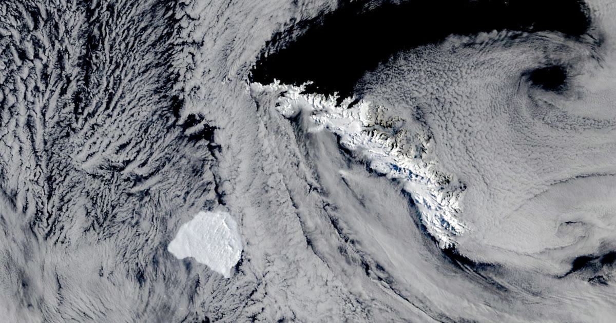
Iceberg A-81, a slab of Antarctic ice the size of a city, slows at the edge of South Georgia
A city-sized iceberg, A-81, has slowed off South Georgia after a 2,300 km drift. What satellites show, why sizes differ, and what is still unknown.

OpenAI says its AI disproved the Exponential Time Hypothesis, and two of the rule's authors will check it
Exponential Time Hypothesis: OpenAI says its AI proved the famous computing rule false. Experts, two of them its authors, are checking. What it means.